
Tropical wave southwest of BCS under watch with 60% cyclone odds over 7 days
The National Hurricane Center places the system several hundred miles off the peninsula's tip, with a 30% chance of development in 48 hours; no coastal watches or warnings are in effect.
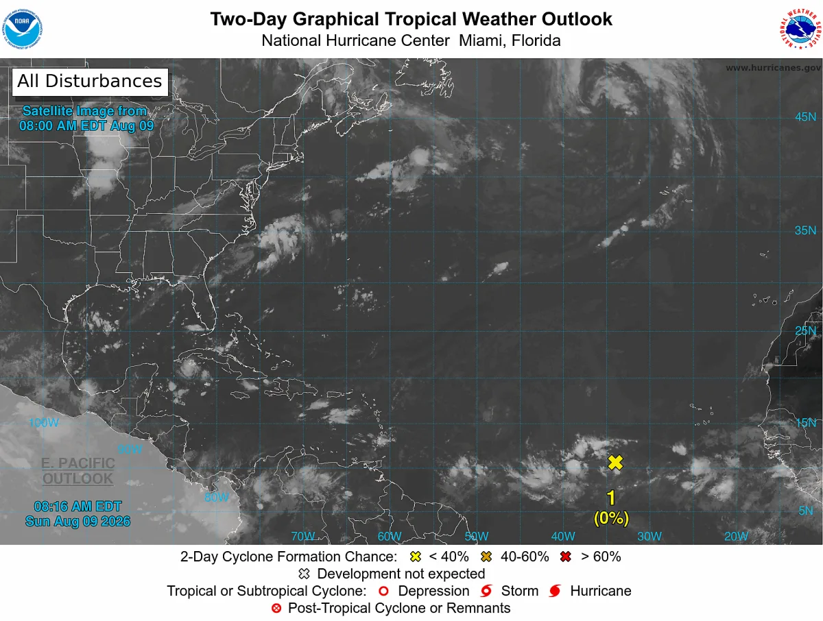
A tropical wave located several hundred miles southwest of the southern tip of the Baja California peninsula carries a 60 percent chance of cyclone development over the next seven days and a 30 percent chance within 48 hours, according to the National Hurricane Center (NHC) outlook issued this Sunday, August 9.
The agency says the system is producing disorganized shower and thunderstorm activity and could gradually form over the next few days as it moves slowly west-northwestward to northwestward across the western portion of the eastern Pacific. Environmental conditions favor gradual development rather than rapid intensification, and for now there are no watches or warnings in effect for land in Baja California Sur.
The general northwestward track, with the system already positioned southwest of the peninsula, calls for monitoring through the week, although a move out to sea remains the most common scenario for this type of disturbance in August.
What to do at this stage (watch, not alarm)
- No urgent action is needed: this is the time to review, not react. Check that your emergency kit has documents, water, medication, a radio or batteries and a flashlight.
- Locate your nearest temporary shelter now; the state has 166 shelters ready for this season, according to state Civil Protection.
- Follow official channels only: BCS Civil Protection, Mexico's National Meteorological Service (SMN) and the municipal governments. Distrust WhatsApp chains with no source.
- If you live near stream beds in La Paz or Los Cabos, remember the season's basic rule: never cross flowing arroyos, on foot or by vehicle.
The Pacific cyclone season runs from May 15 through November 30, and its most active stretch for Baja California Sur goes from August to October, when most historical impacts have reached the state. Official SMN advisories are updated several times a day whenever a system poses a risk to Mexican coasts; this newsroom will follow the tropical wave's evolution.
Related
The State Civil Protection Council suspended all grade levels and both shifts in three municipalities ahead of rainfall of up to 150 millimeters.
The State Civil Protection Council forecasts 75 to 155 millimeters of accumulated rain Saturday through Tuesday and restricts sea access at beaches in both municipalities.
The Civil Protection Council approved five preventive measures, enabled shelters in Cabo San Lucas and San José del Cabo, and urged residents not to cross arroyos.
The city reports 50 to 75 mm forecast and 30.6 mm recorded, with no major damage; OOMSAPAS guarantees the water supply.