
Tropical storm Marie brings waves up to 3 meters and heavy rain to southern Baja California Sur
The official forecast calls for localized rainfall of 50 to 75 mm and 2-to-3-meter surf along the state's southern coast on Tuesday; Los Cabos Civil Protection is on watch and does not rule out indirect effects by Thursday or Friday.
Tropical storm Marie, in the Pacific Ocean, will bring very heavy localized rainfall of 50 to 75 millimeters and surf of 2 to 3 meters along the southern coast of Baja California Sur this Tuesday, September 1, according to the National Meteorological Service. Winds of 10 to 20 kilometers per hour with gusts of 30 to 50 are also expected in the region.
The federal agency noted in its 6:00 a.m. bulletin that, although Marie's center remains far from land, its wide circulation will boost moisture flowing toward northwestern Mexico. The rain could raise the levels of rivers and arroyos and cause landslides, ponding, flooding and reduced visibility on highways.
Official tracking placed Marie by Tuesday afternoon as a tropical storm with winds of 95 km/h and gusts of 110 km/h, about 735 kilometers southwest of Jalisco. The forecast projects it will strengthen into a Category 1 hurricane on Wednesday roughly 705 kilometers south-southwest of Cabo San Lucas, on a track that keeps it away from the coast.
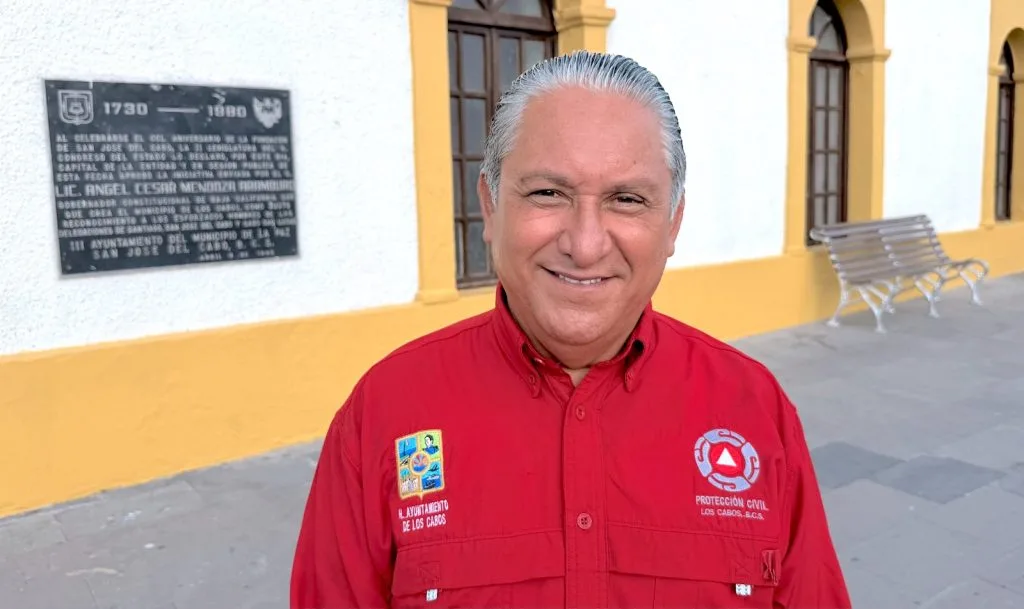
In Los Cabos, the municipal Civil Protection office, led by Francisco Cota Márquez, reported that it is monitoring the system around the clock and has stepped up preventive measures. "No direct impact is expected for Los Cabos; however, because of the breadth of its circulation, it could generate indirect effects," the agency said, placing possible rain and wind between Thursday and Friday depending on the system's track and speed.
The municipal authority added that the Municipal Civil Protection Council could meet Wednesday afternoon if conditions warrant, and that it has already identified temporary shelters, gathering points and evacuation routes, with operational brigades ready to deploy.
Residents should remember that September, October and November historically concentrate the peak of cyclone activity on the peninsula. During intense rain, the advice is not to cross arroyos or fords with running water, to secure loose objects, to keep a basic kit with water, documents and medicine on hand, and to rely only on official channels to avoid spreading unconfirmed information. Emergencies in Los Cabos: (624) 146-7600.
Related
Public Services crews are clearing the San José Viejo ford and the City Club area; municipal Civil Protection is monitoring possible rain on Monday, Oct. 19, and Tuesday, Oct. 20.
The State Civil Protection Council expects the tropical storm to weaken to a depression Friday afternoon; Hurricane Trudy is not expected to affect Baja California Sur.
State Civil Protection expects the system to decay into a tropical depression and remnant low between Friday and Sunday; only the port of La Paz remains open.
The tropical storm has weakened slightly; no watches or warnings are in effect for Baja California Sur, but rain and high surf are still forecast through Saturday.